|

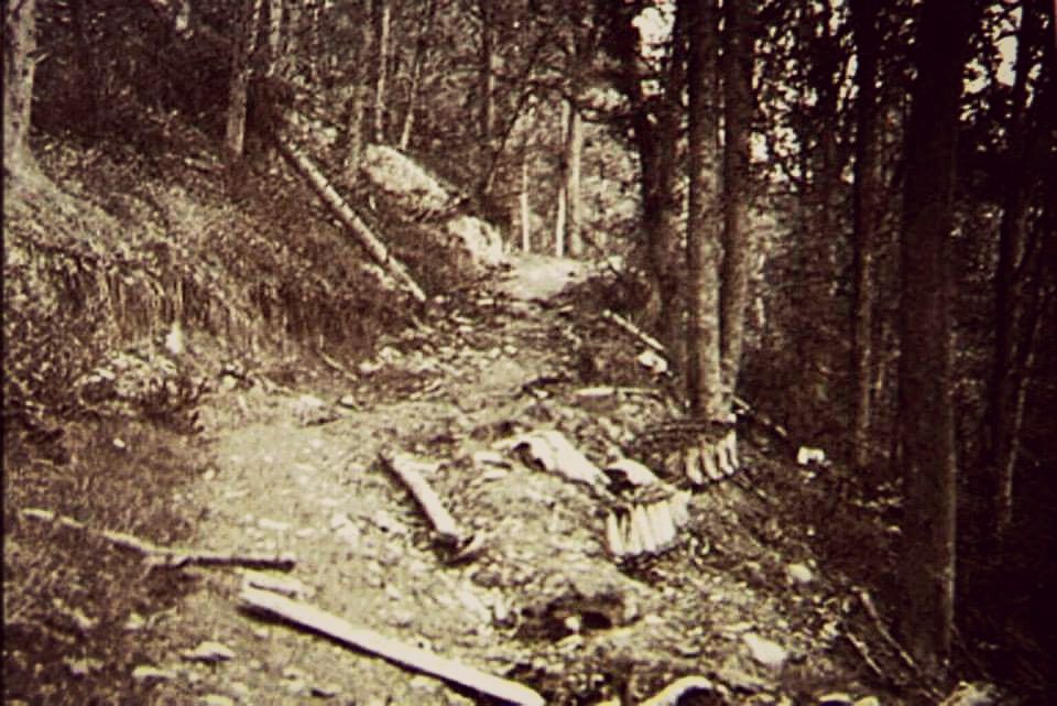
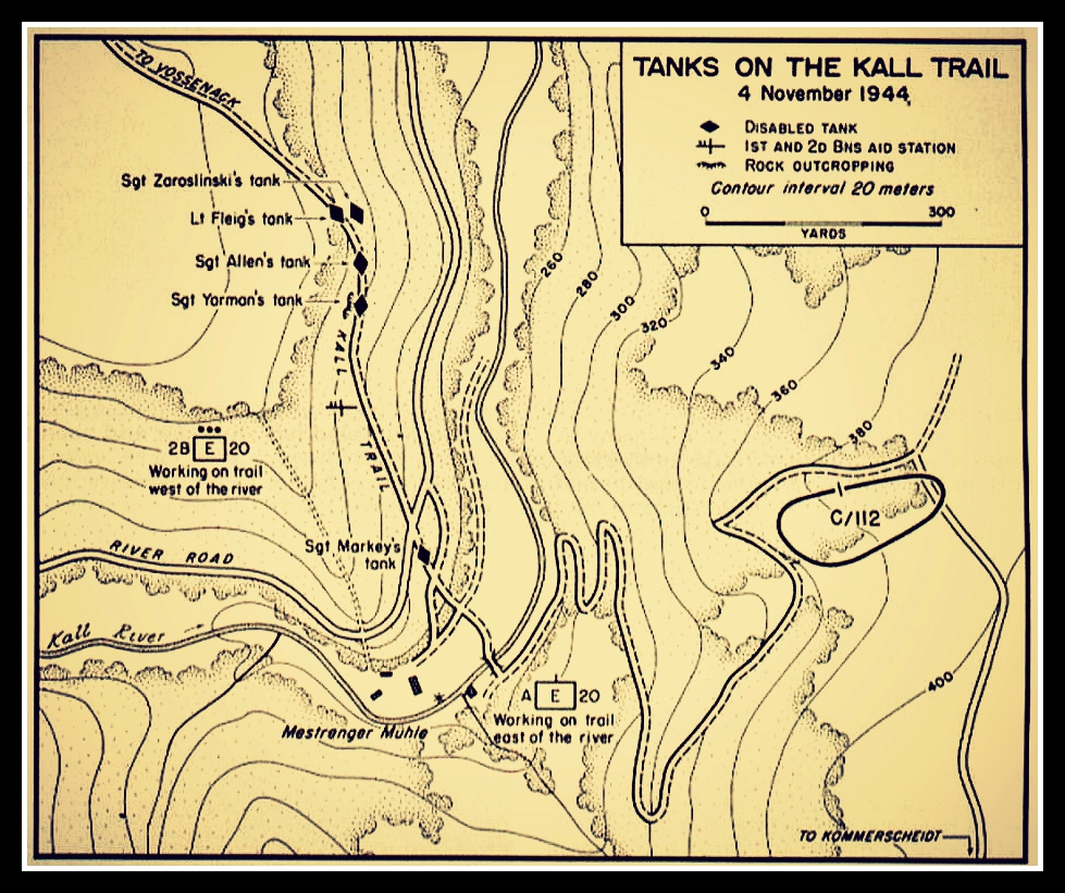
Battle Relic: World War Two US
Army M4 "Sherman" medium tank
track used to reinforce a dirt
road.
Finding place: Forest path
along the eastern bank of the river
Kall near the Mestrenger mill at
Vossenack, North Rhine-Westphalia,
Germany.
Date: July 26th, 2015
GPS location: GPS:
50°40'20.42"N 6°23'23.85"E
Introduction: One of the
must-sees when visiting the
battlefields of the German
Hürtgenwald forest is the American
Sherman tank track used to reinforce
a dirt road called the "Kall Trail"
near the town of Vossenack.
Although it was an easy find which
has been photographed and published
numerous times, we decided to
describe it here nonetheless. |
|
(click for
enlargements)
_small.jpg)
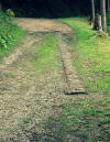
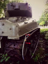
Lost American tank track used to
pave a less beaten path
|
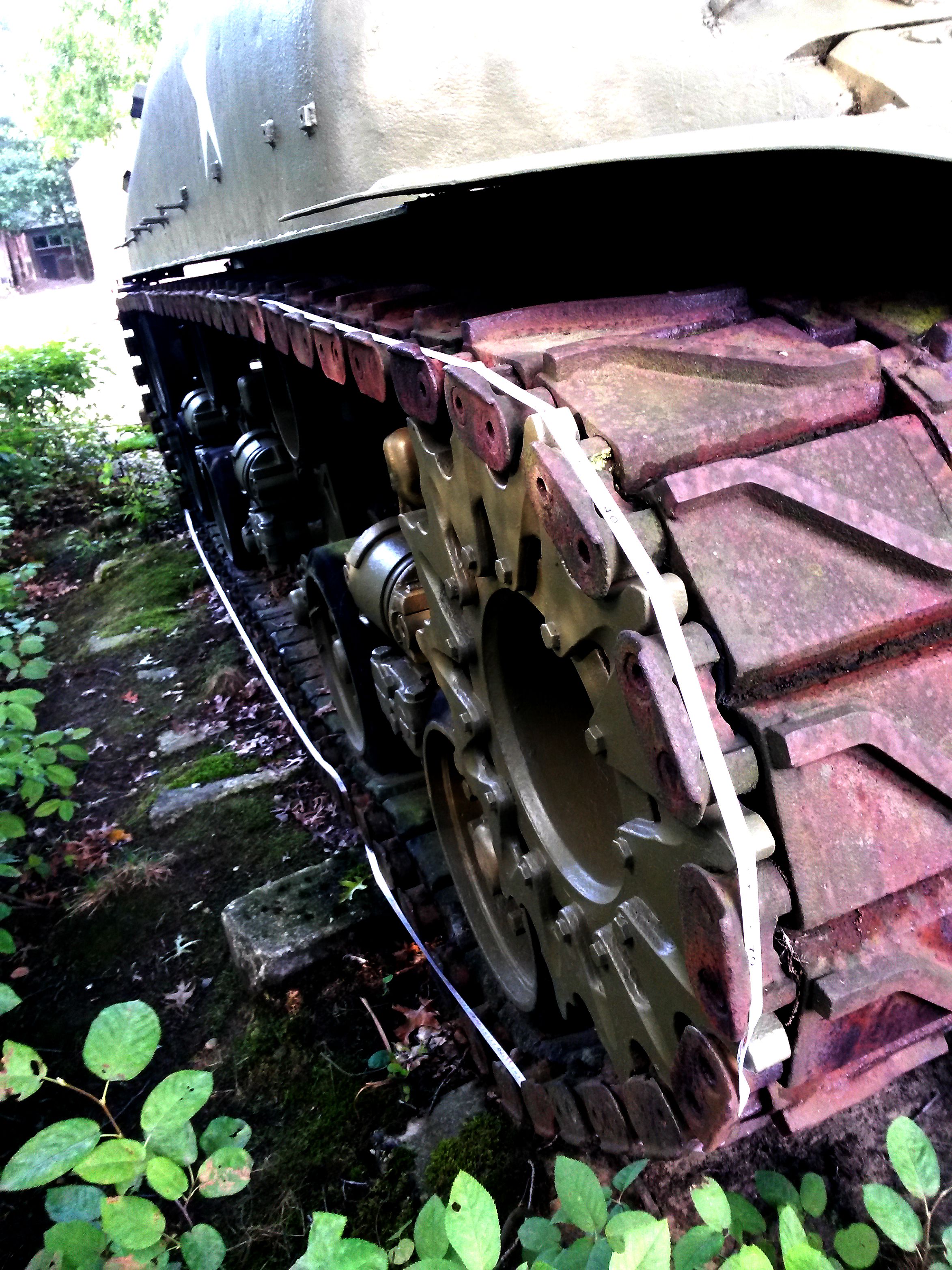
This relic was part of an American
Sherman tank which was apparently
damaged or lost during the Battle in
the Hürtgenwald Forest. The battle
lasted from September 19th, 1944
until February 10th, 1945.
"Operation Market Garden", which
started two days before and the
Battle of the Bulge which raged
during the later stage of combat in
the Hürtgenwald, overshadowed this
battle and made it a lesser known
episode in the struggle to free
Western Europe from Nazi tyranny.
The 1998 Hollywood production "When
Trumpets Fade" brought the battle of
the Hürtgenwald to the attention of
a wider audience.
Today, the area features a
museum about the battle in Vossenack
which is well worth visiting.
Historical locations
as decribed in history books are not
often marked with plaques and signs
as in other (previously occupied)
European countries. |
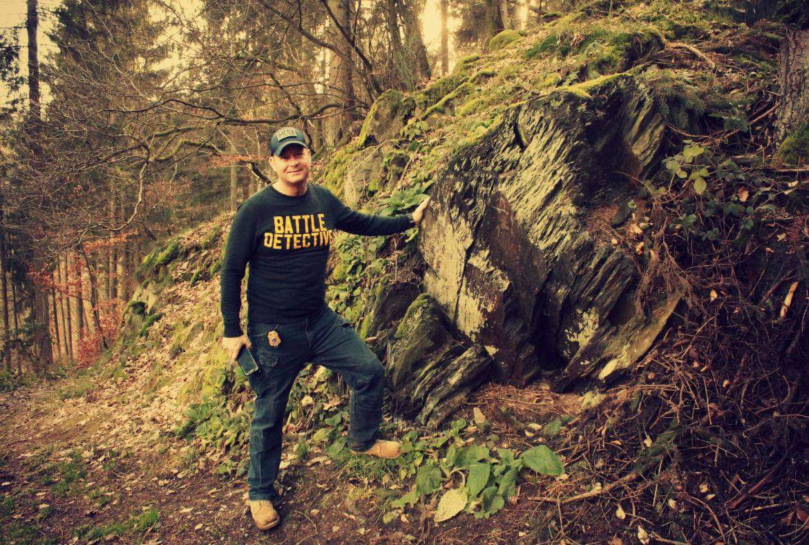
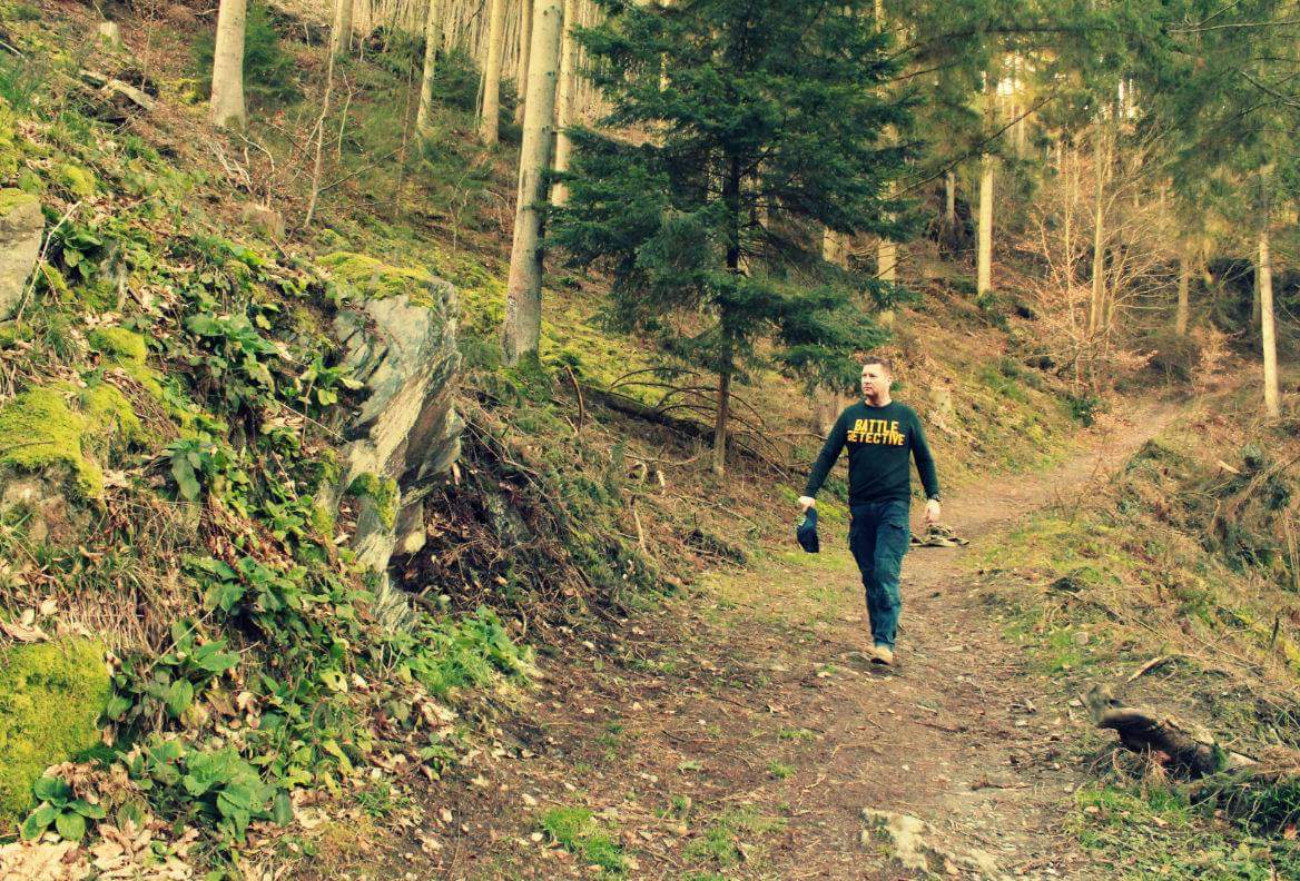
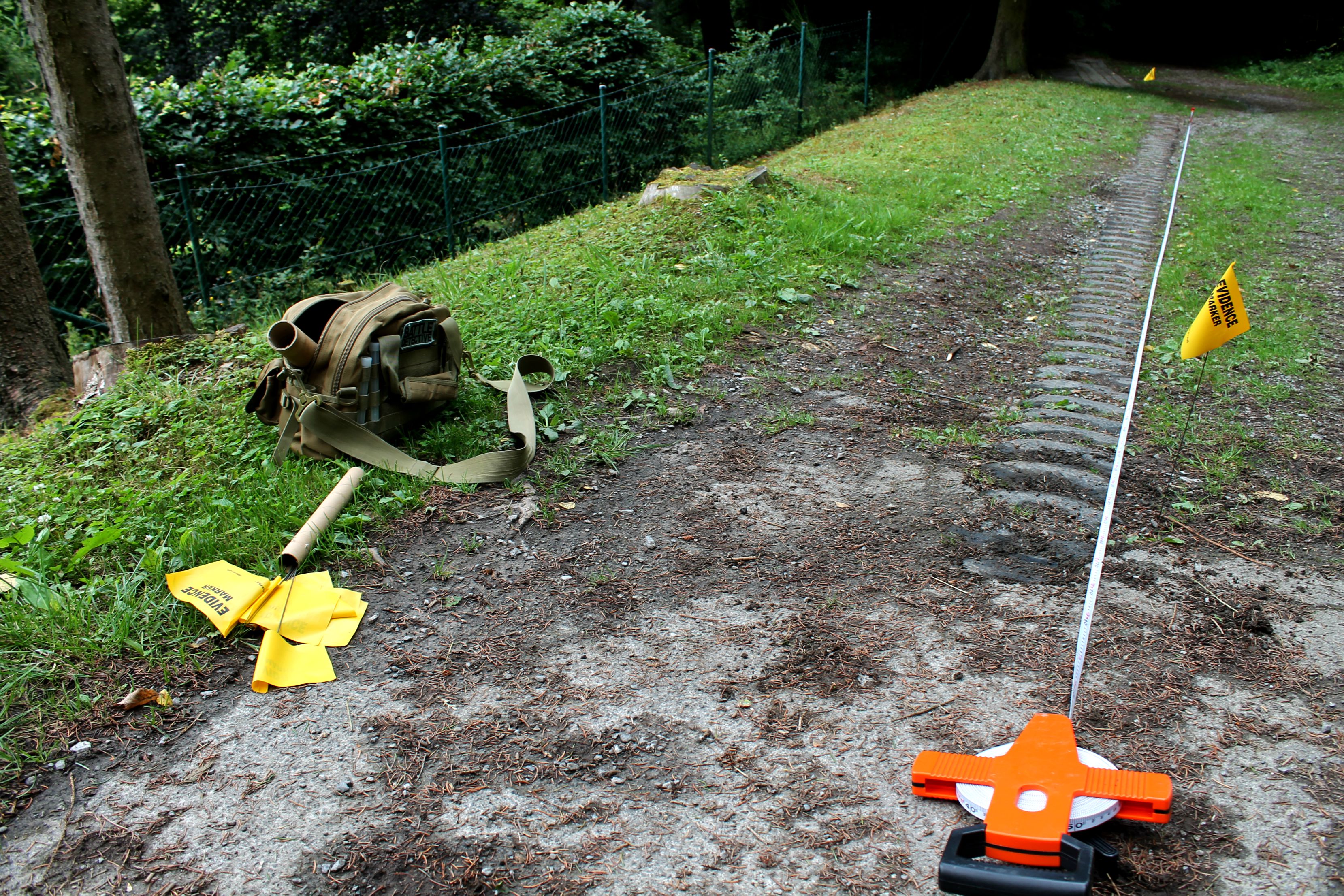
But, while wandering the banks of
the river Kall a friendly lady
noticed our interest in the
bridge spanning that river and
us taking pictures of it, and she
spontaneously told us we would find
a "Panzerkette" (tank track)
a few hundred yards up the winding
hairpin trail.
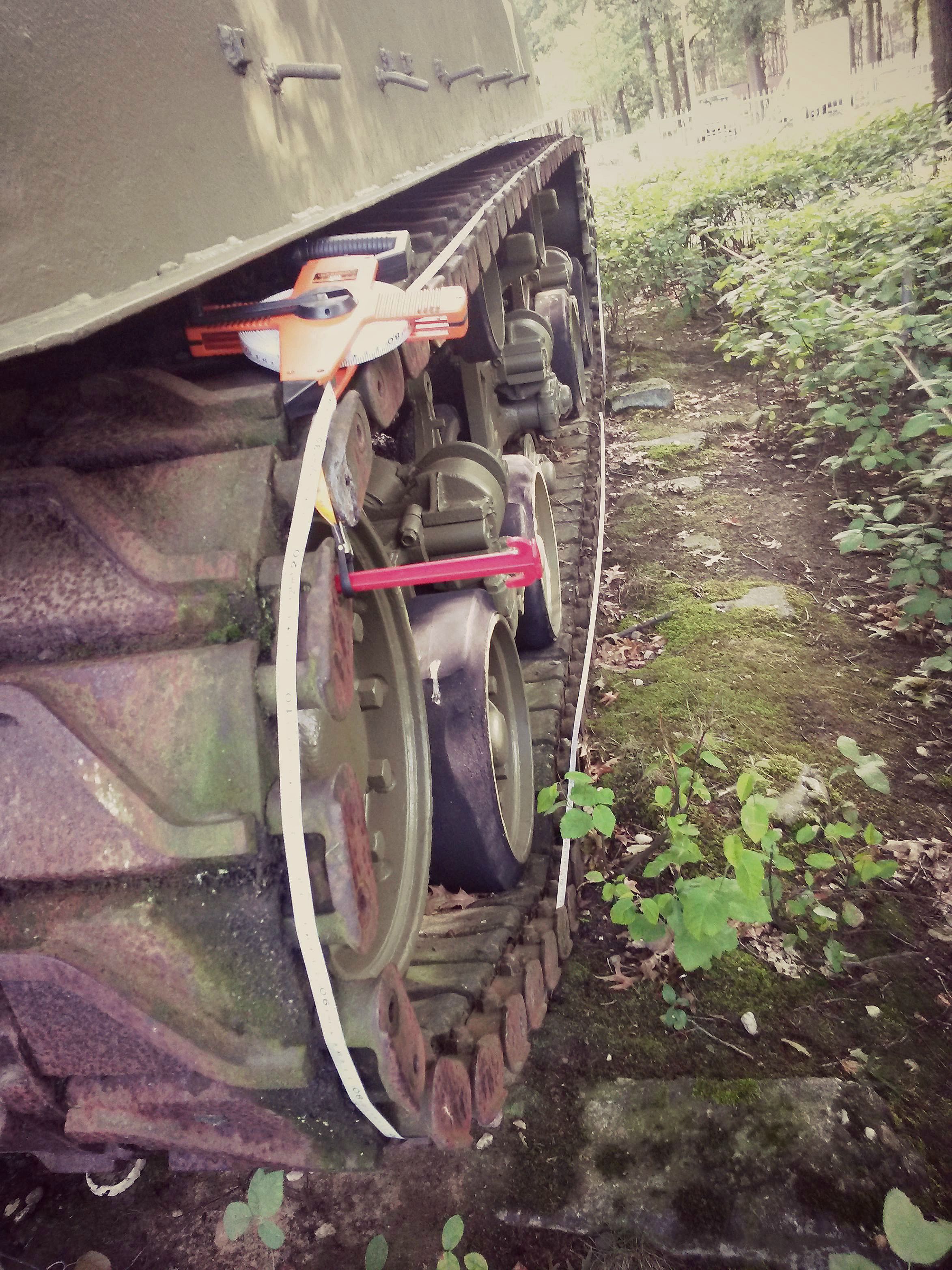
After we had located the track, we
photographed and measured it. |
|
(click for
enlargements)
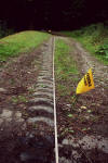   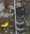  |
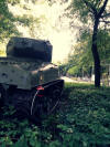
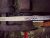
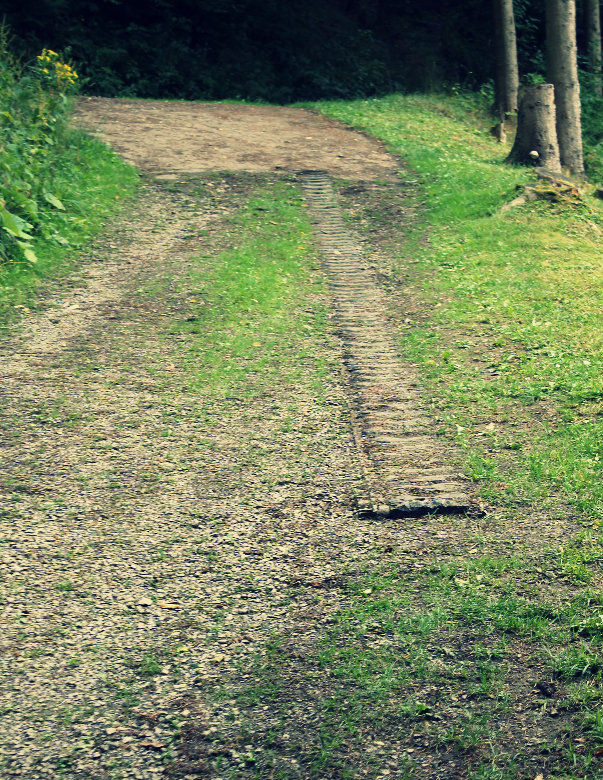
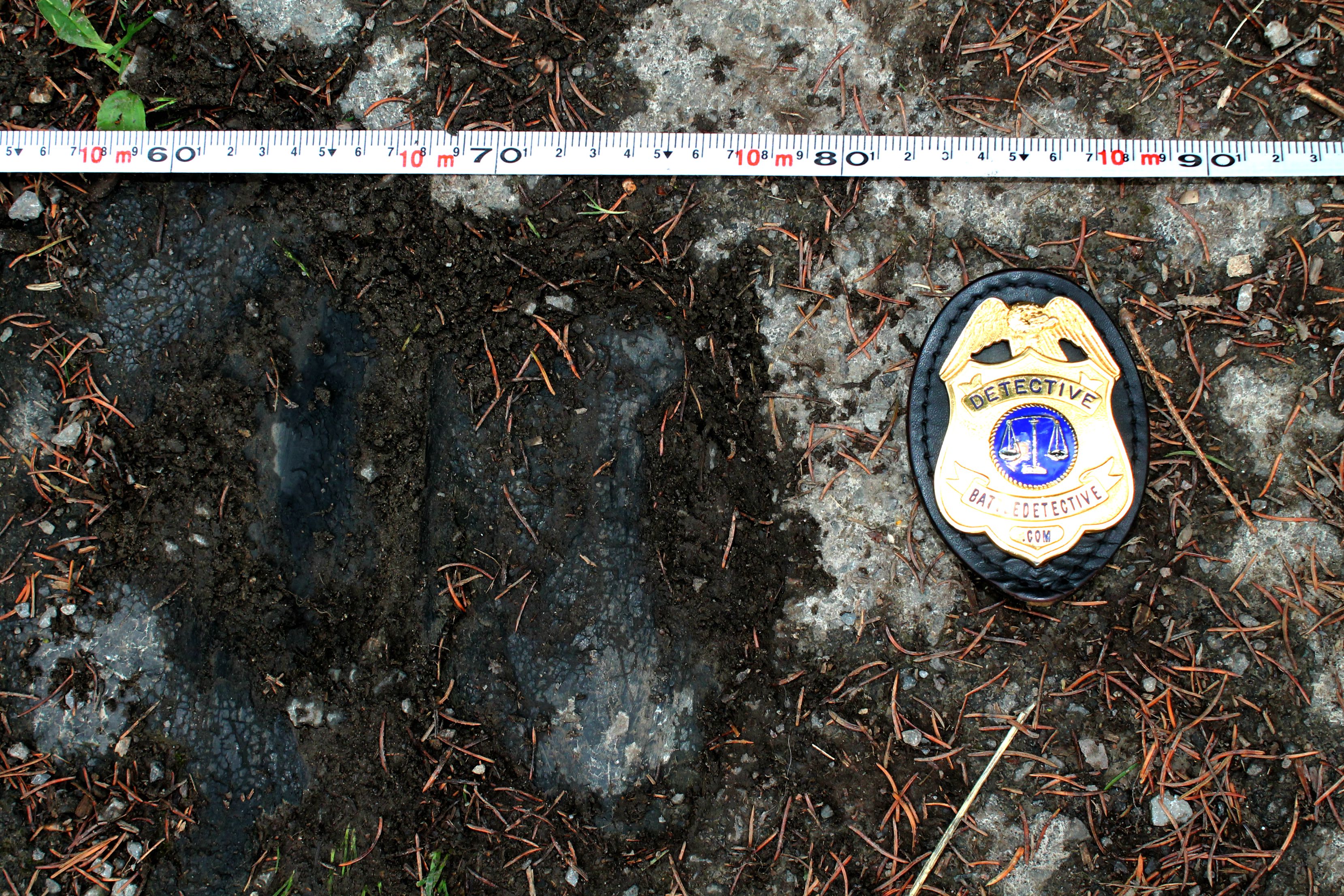
The track appeared to be of the
chevron rubber tread variety and 10
meters and 80 centimeters in length:
425 inches. The higher end
disappeared under the tarmac of the
paved road. |
|
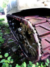
It has always been assumed that this
track belonged to an M4 "Sherman"
medium tank.
In this area several tanks of this
type either threw their tracks or
were completely put out of action.
In a later stage of the battle M10
Tank Destroyers were deployed but
these were either destroyed even
before entering the Kall river gorge
or have no documented losses in this
area.
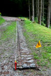
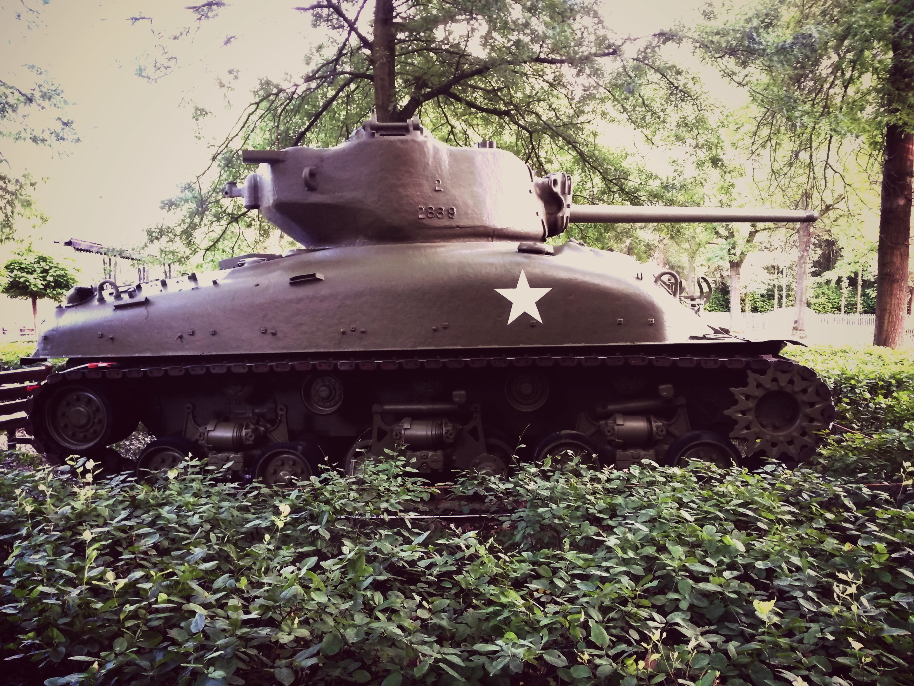
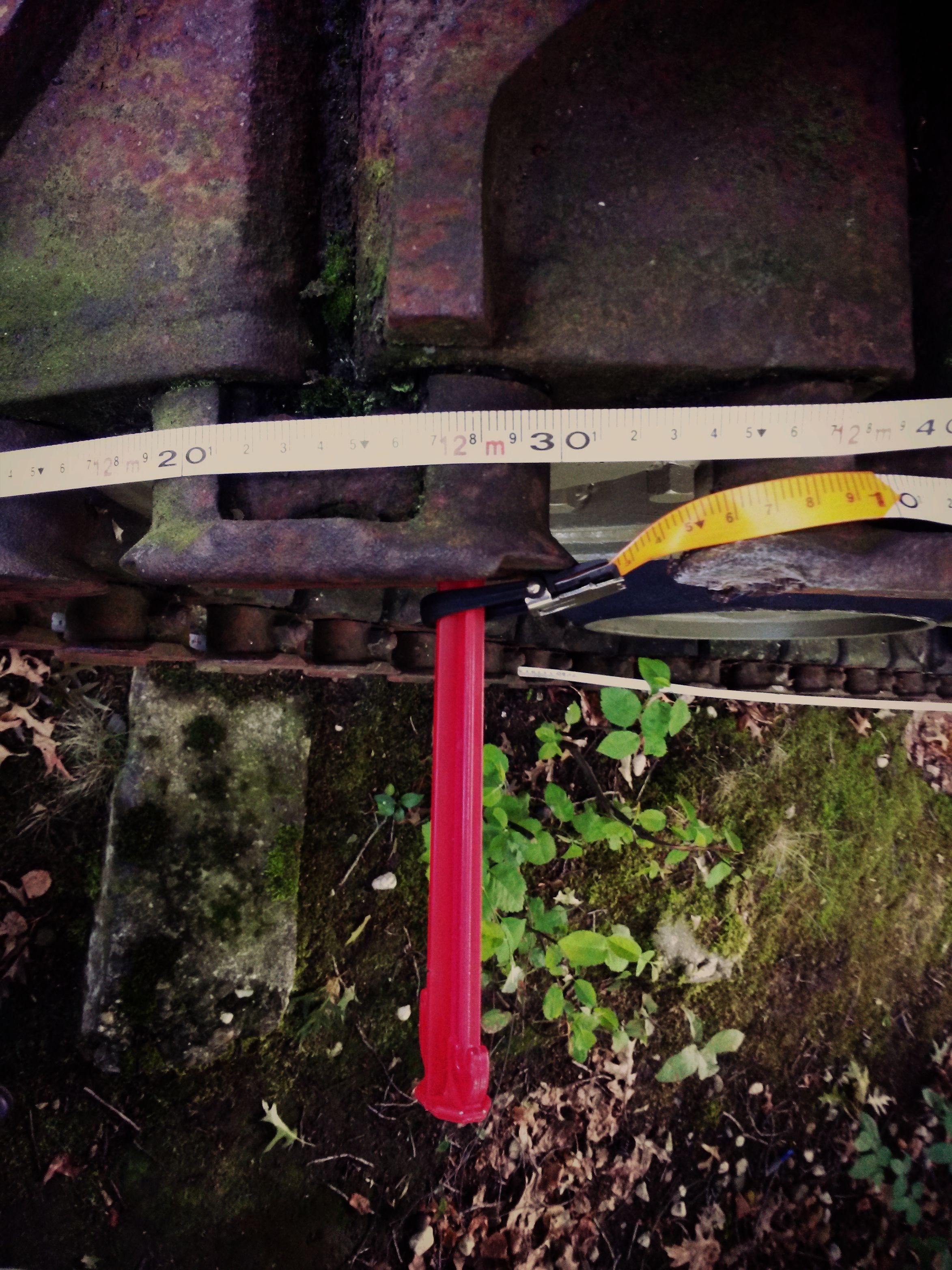
The question then rose if this is a
complete track or if some of the
standard 79 so-called "shoes"
(links) are missing. After a rather
extensive desk research we weren't
able to find any reference to the
total length of an M4 Sherman medium
tank. We therefore took measures in
our own hand and wrapped our trusty
(although in metric scale) measuring
tape around the tracks of the M4
Sherman tank on the grounds of the
Wings of Liberation Museum in Best,
The Netherlands. |
|
(click for
enlargements)
        |
|
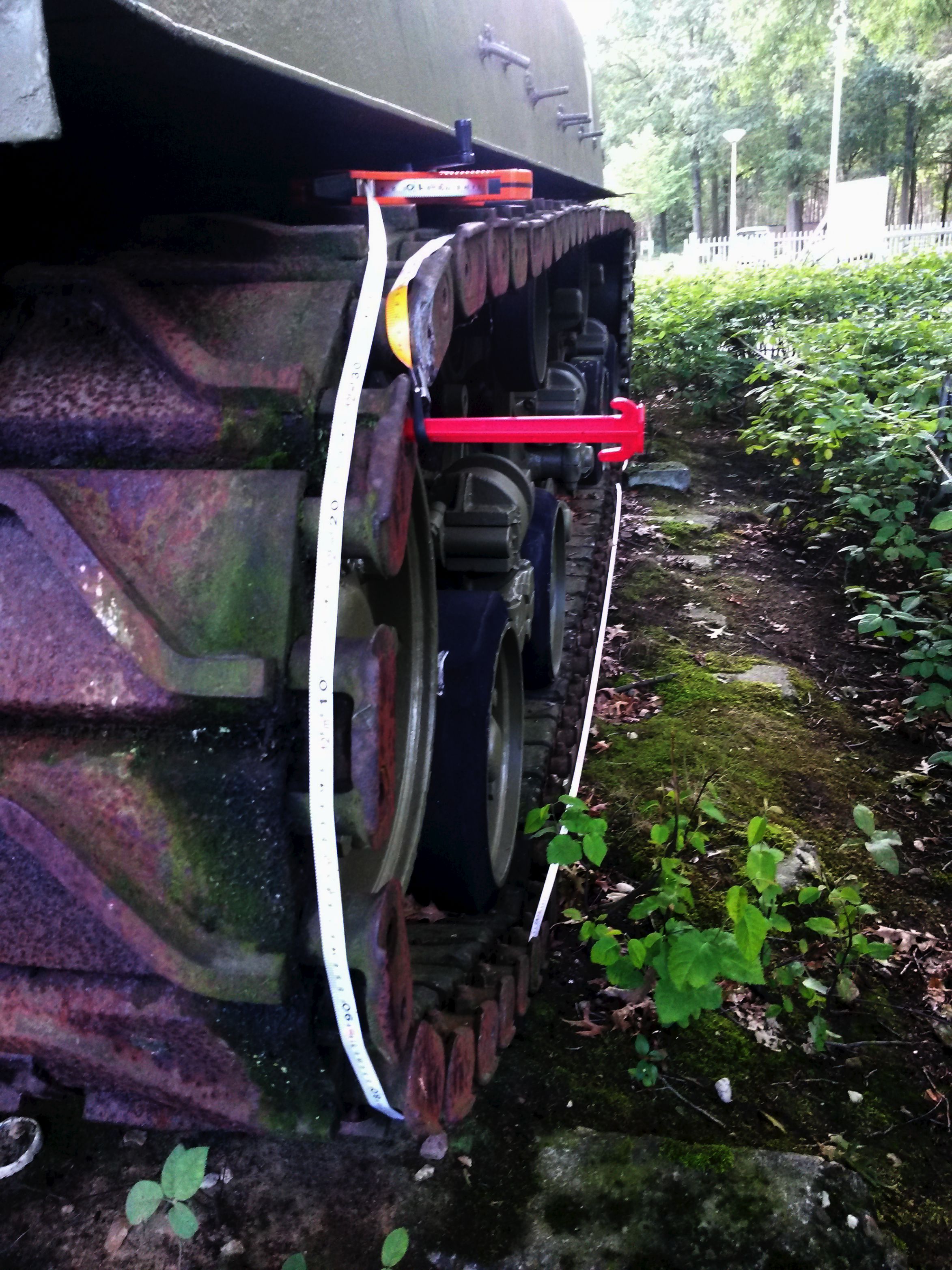
Thus, we learned that the total
length of a Sherman track measures
12 meters and 31 centimeters;
484,6 inches. |
CONCLUSION:
The exposed M4 "Sherman" medium
tank track in the dirt track east of
the Kall river near the bridge at
Mestrenger mill in Vossenack in the
German Hürtgenwald forest, is
shorter than an intact track; one
and a half meters or 60 inches
shorter.
Having seen the black top road turn
into the dirt trail with the tank
track coming from under the thin
layer of tarmac, we theorize that
there aren't many 'shoes' hidden
under the pavement; if any. It is
therefore likely that this track was
damaged and lost several 'shoes'
before it was used to reinforce this
stretch of the Kall Trail. |
|
EXHIBITIONS: |
|
(click for
enlargements)
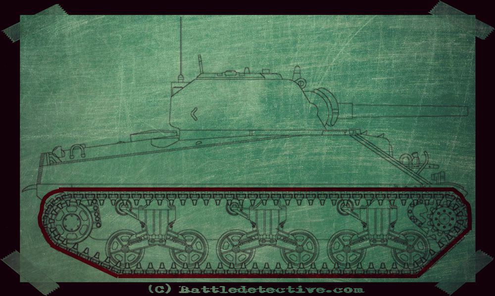
From top left to lower
right:
US M4 "Sherman" medium tank with
intact track;
British troops attaching a track to
a Sherman tank, giving an idea of
the total length;
Photo-montage providing an
impression of the size of a Sherman
tank on the Kall Trail
Sherman tank track on narrow Kall
Trail. west bank near
the "Rocky Outcrop" terrain feature.
(click for
enlargements)
"The Rocky Outcrop" along the Kall
Trail on January 11th, 2018
|
|
Back to Battlerelics
 |
|
|


.jpg)


.jpg)